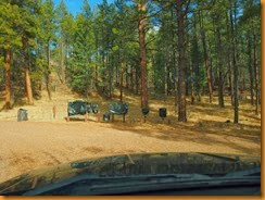
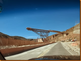
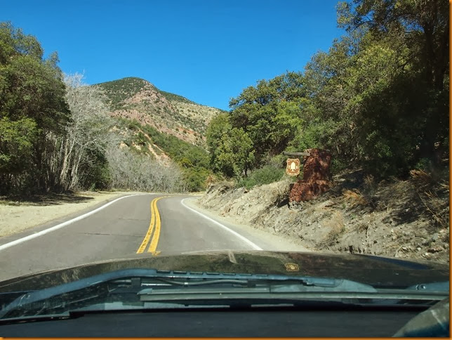
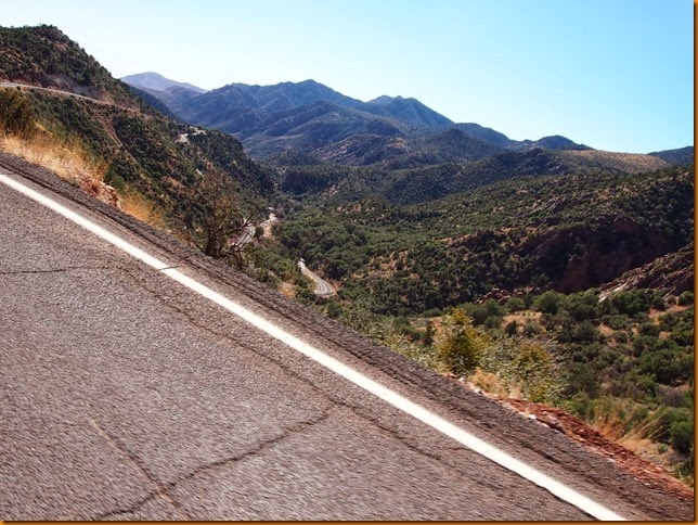
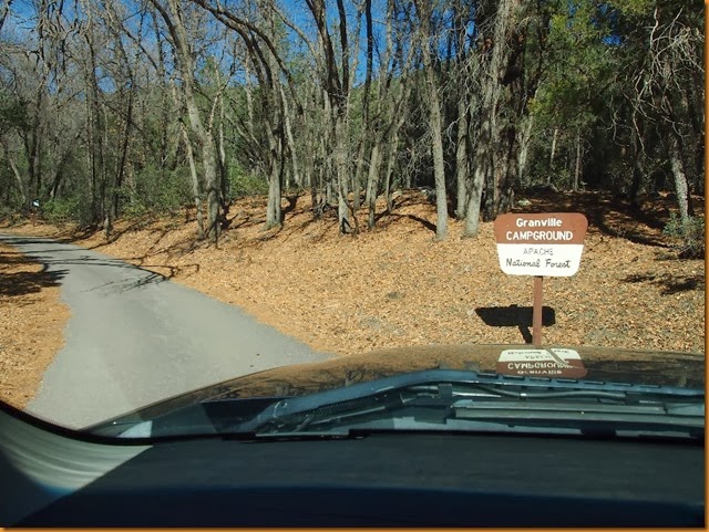
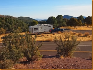
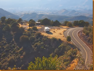
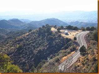
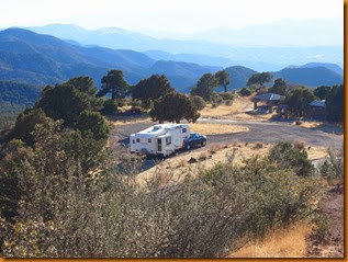
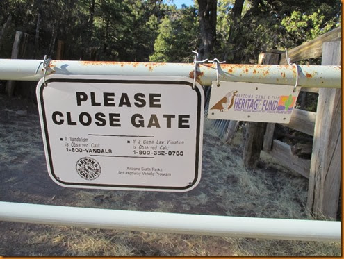
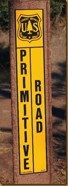
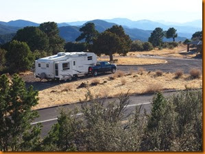
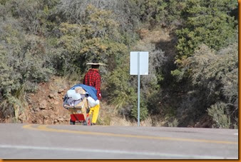
With a big smile on my face after Canada beat the US in Olympic hockey, we departed the summit and headed down the other side of the mountain. Lots of trailheads here for hiking and horse trails – would be a good place for John & Brenda to check out some time. Only trouble is; with the road this curvy, the horses would be bruised and sea-sick by the time you got them to the start of the trail. The highway winds down slowly out of the timber at the summit, gradually turning into rolling grassland, with many more good places for overnighting along the road, and probably good places for multi-day stays as well. After a relaxing drive across the high prairie, the road once again climbs into the forest with the same winding switchbacks as before, but to even higher elevations this time. The road tops out at around 9200’, and the peaks are all higher of course. In shady spots along the road, and in the heavy timber there was a fair bit of snow, with temps not much above freezing during the daytime.
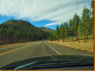
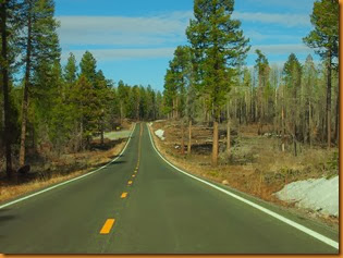
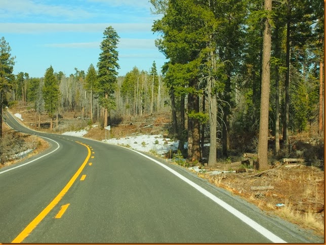 I had now been driving for about an hour and a half, and total traffic seen – 1 other vehicle!
From there, it was a coast down through slightly lower elevations, past Hannagan Meadows and into Alpine. There is a good circle route from there that takes you through western New Mexico and back to the south again, but I decided to leave that for another time. Back at my summit camp, I had run into the hosts from Hot Well Dunes who were doing that loop as a day trip. They seemed a little impressed that I had pulled the fifth wheel up that road!
It was still early going through Alpine, and the Alpine Divide forest service campground was open (fee collection closed), but with the time of day and the proximity to the highway, and elevation, it was given a pass.
That may have been a poor decision as late in the day I found two forest service rec areas near Greer that were both gated, closed and locked up for the winter. Regardless, some sub-freezing temps overnight had us up early in the morning, taking the ‘high’ route over to Show Low. Locals told me that there is usually several feet of snow here at this time of year, but there was almost none.
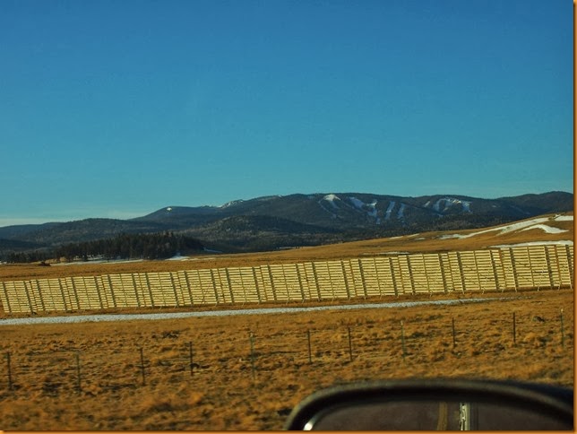
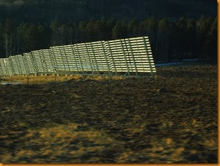
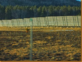
I could see the Sunrise ski area in the distance, and the huge snow fences testified to the fact that snow is usually blowing around up here.
From Show Low we headed for Payson. There were not a lot of tempting camp spots that I saw along way, and when the road plunges off the edge of the Mogollon rim, the thoughts of warmer temperatures of the lower elevations kept us rolling through Payson after topping off the fuel tank again. Again the elevations dropped and the temps rose as we took the turnoff down towards Roosevelt lake, where I knew that scenic, cheap and free campsites abound. We bought a couple of Tonto Passes (pre-paid camping permits) in Payson to cover all the angles.
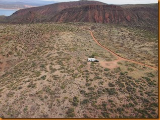
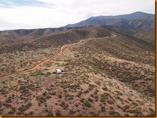
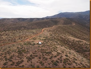
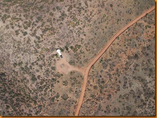
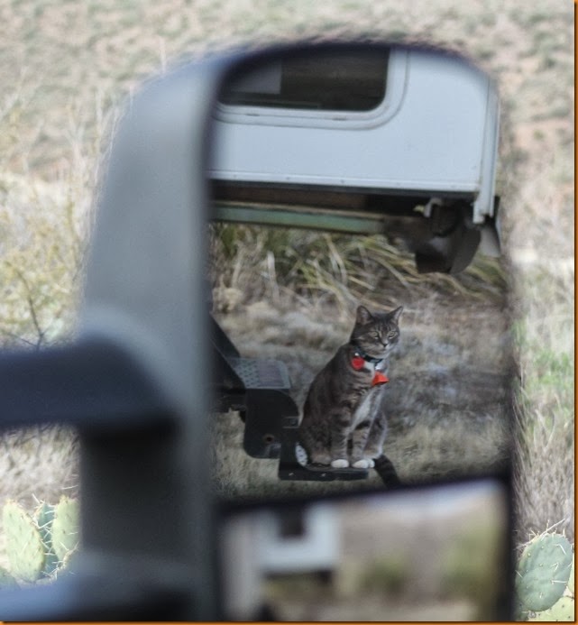
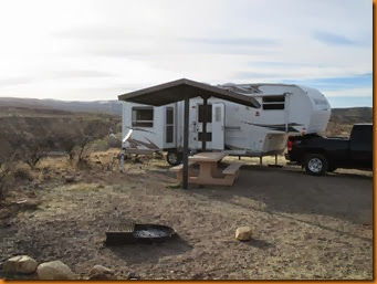
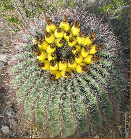
Roosevelt lake is a reservoir, and it was a way lower than I have ever seen it. Campers lined the shoreline in areas that would normally be under tens of feet of water. After one drive down the waters edge, and the relative crowds, we opted for the high country across the highway – which is all ‘normal’ BLM land as far as I am aware. Don’t try this at home, but after a bit of exploration and using 4x4 low range, we dragged the rig up some pretty ‘iffy’, winding, steep, one-lane tracks, up to a spot with superior views and complete privacy. Some lower options were occupied, and/or there were too many teddy bear cholla cactuses there for Hailey paws.
Note to Wheeling It: Do not attempt this road with the ‘beast’! Your four wheeler would do fine, however!
Higher up the mountainside the road terminates at a trailhead for the ‘Arizona trail’, which starts with a long steep climb away from the parking lot. 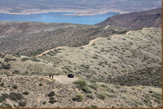
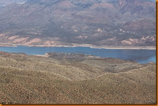
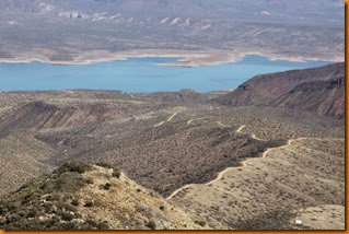
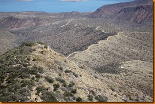
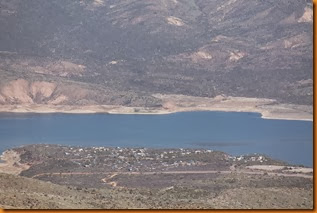
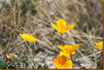
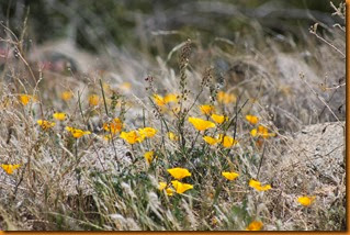
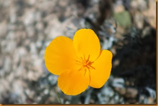
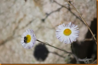
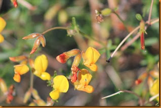
Lots of flowers were blooming, and bird life was abundant.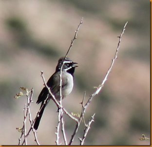
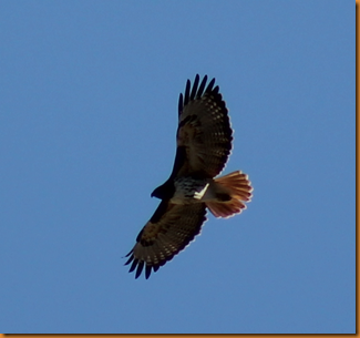
A white-tailed deer stopped to make sure I wasn’t a hunter.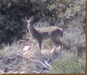
Even a flying insect stopped in mid-air to check me out.
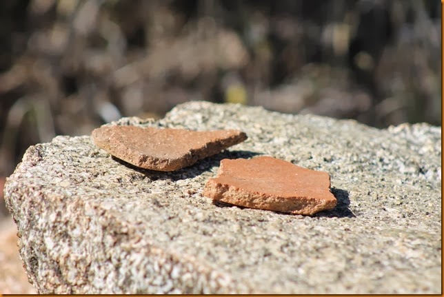
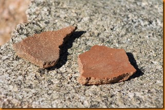
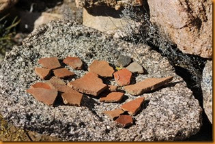
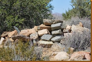
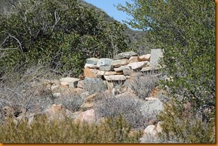
The area was evidently used by earlier cultures for some purposes as there are quite a few pot shards to be found, and a few piles of rocks that look to have been placed there for a purpose at some point in the past. There are also preserved cliff dwellings at nearby Tonto National Monument.
After a couple days of relaxation, my ‘demanding’ schedule required me to vacate this paradise and head back to the big city for a bit.
Wandering Willy seems to be leading the charge on the northward migration home. By the time you read this, he will be back in the land of Tim Horton’s and gold medals. Jean & Skip are ‘on deck’ as they visit Owl canyon north of Barstow. No word of when the Bayfield Bunch will pull up stakes, but coincidentally both Al and I seem to have cut off facial hair in the last couple weeks. My chin is now bare for the first time in at least 15 years. Wheeling It are in a secret boondocking spot somewhere south of Tucson, but they don’t have to leave the country. They do head north to avoid the heat, though. Ms Hailey and I are at least looking towards the north, but it is FAR too cold and snowy at home to even consider returning for weeks, but we might start to wander that direction slowly, in a rather usual, random fashion.
